When researching the PCT there wasn’t much said online about the section in Oregon. Once we started getting within a couple hundred miles of the state, most of the talk was that Oregon is “flat & fast” – almost like a brief buffer between the spectacular scenery of Northern California and Washington. There’s even an Oregon challenge where hikers attempt to complete all 450 miles of trail in Oregon in under two weeks.
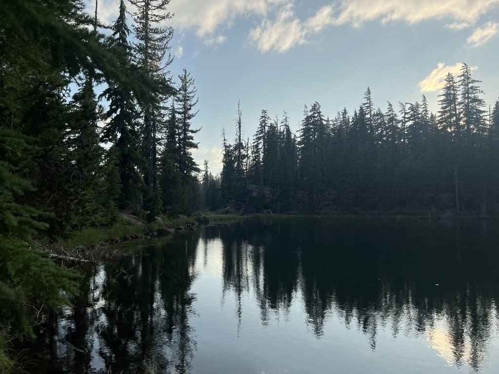
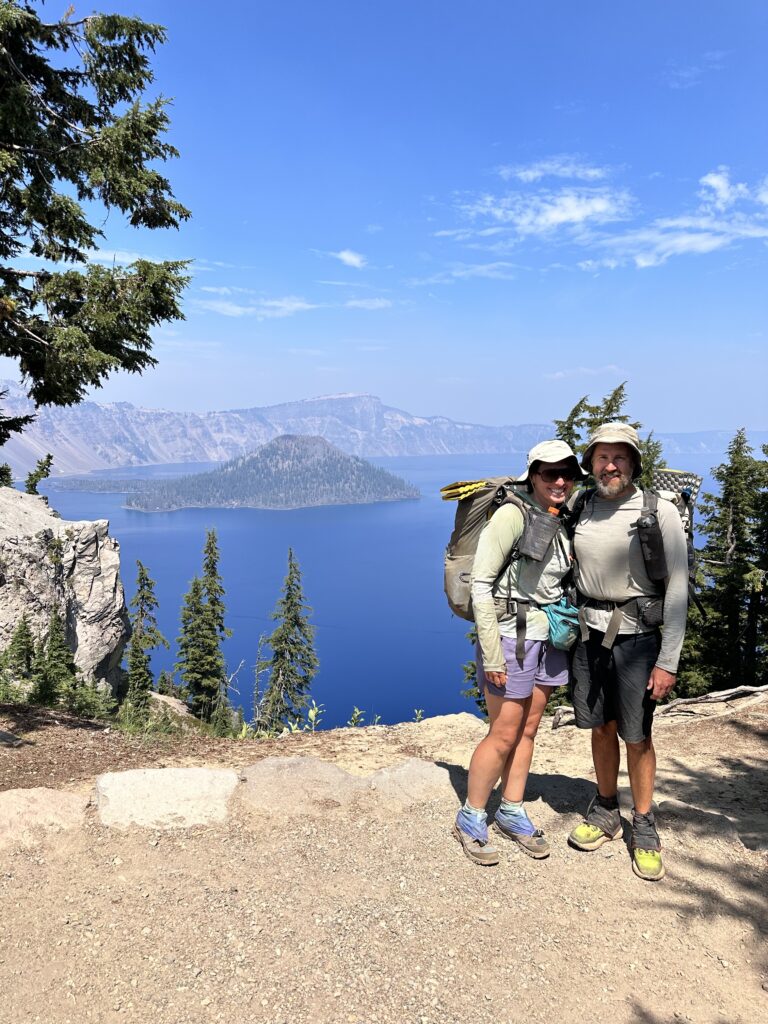
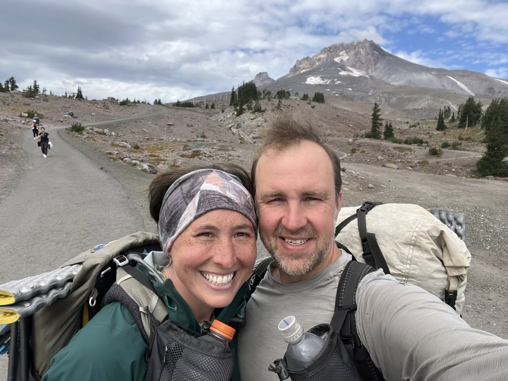
We spent a full month in the state, crossing the southern border on August 4 and will walk across the Columbia river to the north on September 5. While the brief area from Ashland to Fish Lake is on my “most skippable” sections of the PCT, the trail was fantastic and I can’t wait to return to some of my favorite spots, like Crater Lake National Park and the Three Sisters wilderness.
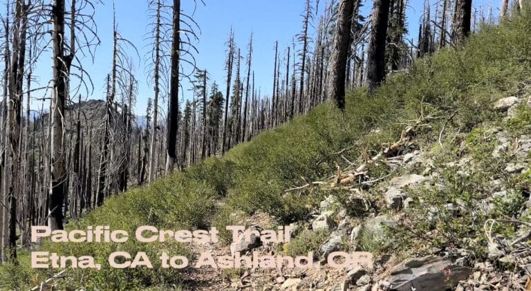
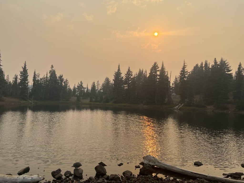
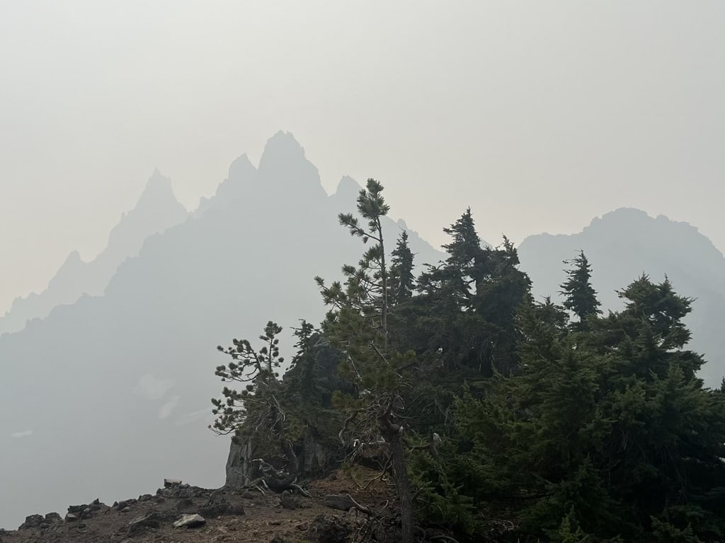
While in Oregon we started to live out some of our fears of fire season. Due to wild fires in the state we had a handful of days where the smoke was thick enough to be frustrating – blocking views and making our throats scratchy- but luckily not bad enough to force us off trail like it did some other hikers just 50 miles or so north of us. We were also very lucky to miss the Pete’s Lake fire by just a day, which was burning close enough to the trail to close a section in the Three Sisters wilderness. While the closure only impacts about 30 miles of trail, many hikers had to skip up to 100 miles of the trail given limited access routes. This came just a couple weeks after new fires closed 50 miles of trail at the northern edge of California and two fire detours were put in place along with highway closures in the north cascades of Washington.
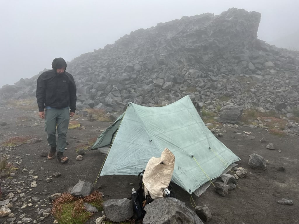
Given the smoke and fire danger, we were very happy to have our first signs of rain in almost two months. We had a short rain overnight outside Crater lake, a rainy and windy day at Jefferson park, and then our first all-day cold rain, which soaked us thoroughly and turned the trail into a series of inches-deep puddles. While we know the rain is really helpful for the fires, it did have us wishing for sunnier weather through the shivers. A few days later we had another good rain, but this time we got into our tent at 3pm to stay dry while eating lunch then didn’t end up getting out of the tent until the next morning. But, as Jeremy says, summer monsoons bring fall mushrooms.
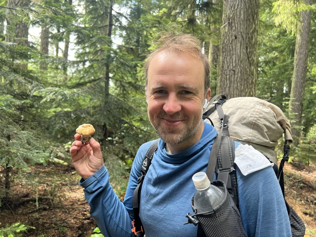
And the mushrooms in Oregon have been great. We have seen at least four types of boletes (butter, bitter, king, and admirable), late summer burn morels, chicken of the woods, and Jeremy just found his first chanterelle of the season. Now that the land has had a good soaking we hope there will be even more fungi in our future.
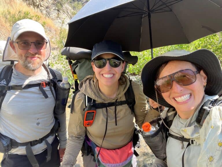
Another standout in Oregon has been the kindness and generosity of the people. On our first cold and rainy day mentioned above, we wandered into a horse camp just off trail looking for a place to put up our tent only to find three amazing women there with their horses (and one donkey) and dogs. After seeing the state we were in they fed us hot water with whiskey and banana bread and gave us a dry place to hang out and good company.
While trying to find our way into towns from the trailhead we almost always had someone offering a ride before we even knew which direction we were going. On our first night in Oregon we accidentally crashed a family reunion, and were welcomed into the gathering with desserts and drinks and excellent jokes from an older uncle.
I am looking forward to spending more time in Oregon in the future, but today Washington is calling my name. The four months spent in California and Oregon makes up the longest time I have ever been away from Washington, and I can’t wait to cross the Bridge of the gods tomorrow and be home in the Evergreen state.
Get the data serious foragers use to find more mushrooms
Free members get soil temps, precipitation, and ecoregion data. Pro unlocks the layers that help you narrow down exactly where to look.
- Historical burn perimeters — find morel habitat fast
- Timber harvest boundaries across OR & WA
- Detailed foraging area summaries with conditions
- Offline maps in the Forayz iOS app