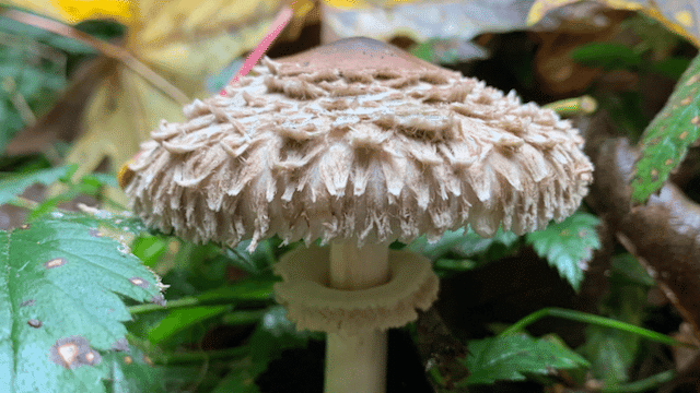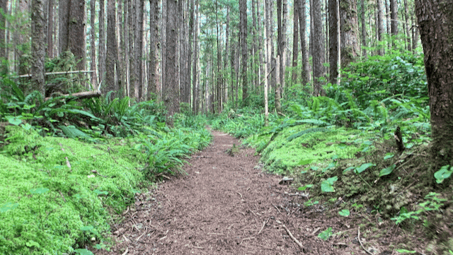
Kristi and I hiked ~20mi up the Duckabush River last weekend reaching Marmot Lake around 4400ft. I captured a reasonable sample of the mushrooms we found and posted them to iNaturalist. I included exact coordinates for everything because I don’t expect anyone is going to make a special trip out here specifically to check out any of these mushroom spots. I imagine if one would spend 2-3 days hiking ANY forest in the area, they could find similar mushrooms with less effort.
See all observations on iNaturalist
The Duckabush trailhead is about a 15min drive up Duckabush Rd from Hwy 101.
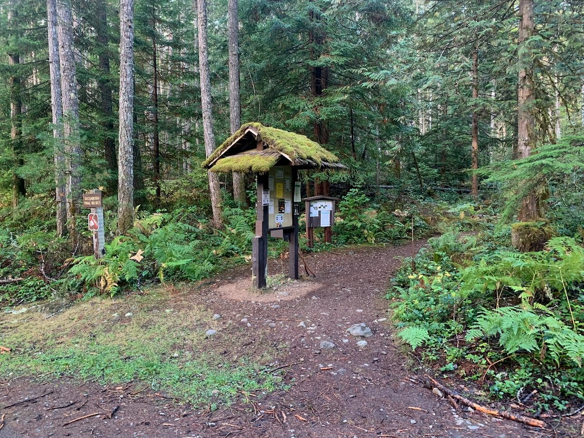
The trail itself is typical of most eastern Olympic river walks. It’s fairly flat and dominated by Douglas-fir and western hemlock at the lower elevations. Most of these forests have been logged previously and are relatively young.
Like nearly all trails in the area, the Duckabush has been getting more popular recently, especially after a large section of the Skokomish near Lake Cushman burned in 2025. Most hikers are just out for the day, so backpackers can expect significantly less traffic from 5-mile camp and beyond.
For mushroom foragers, the Duckabush is as suitable as most other eastern Olympic forests. A couple of miles up the trail you enter the Wilderness where picking is prohibited and then shortly after 5-mile you enter the Olympic National Park where picking allowed.
From Aug 14-16th, we noticed a conspicuous absence of mushrooms over the first 5 miles to 5-mile camp, and then only increasing slightly over the following 5 miles to 10-mile camp. From 10-mile and beyond, the change was striking. This could have been the highest density of russulas I have ever experienced and they seemed to be quite diverse as well.
Here are some of the highlights
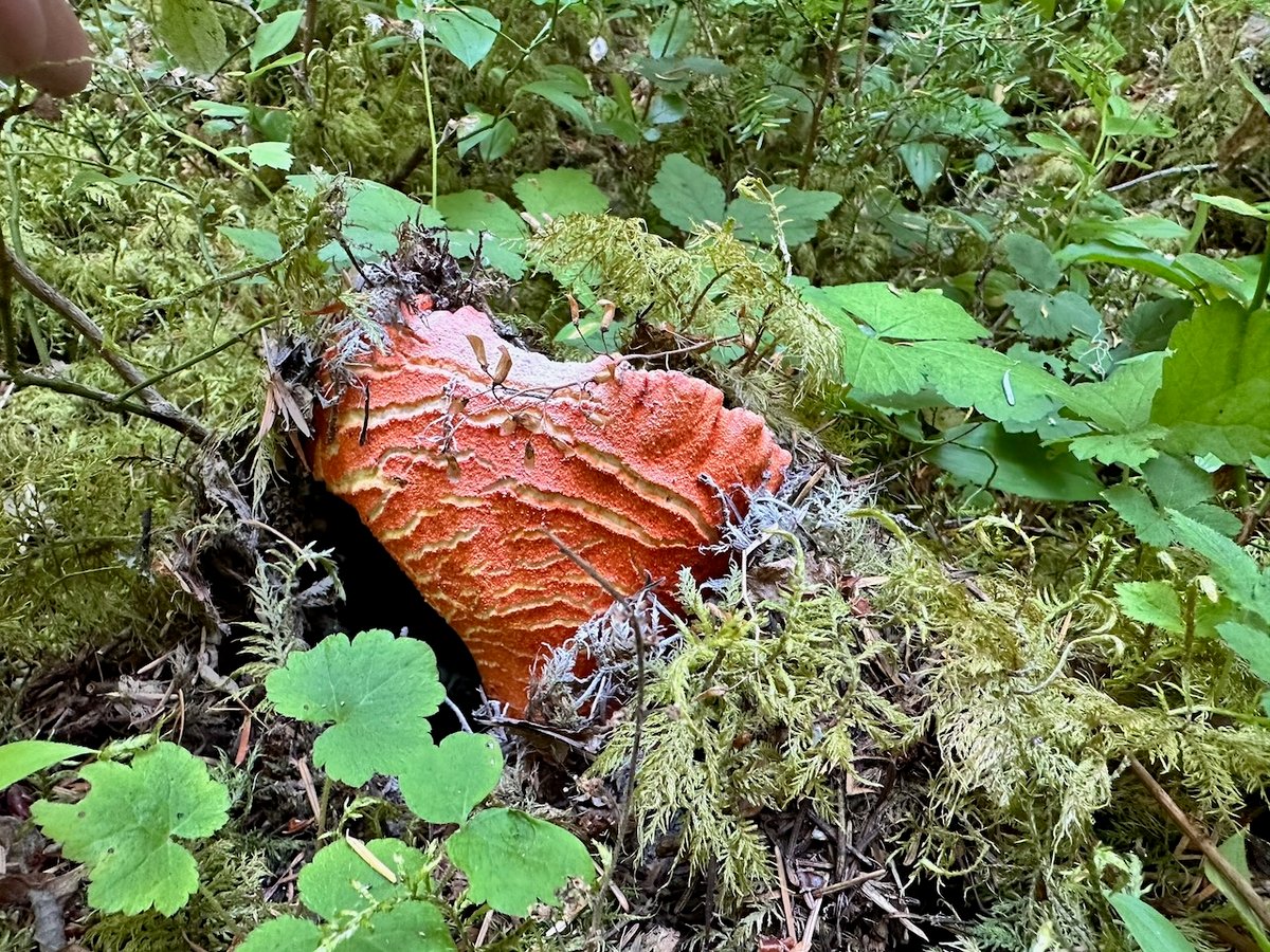
Lobster
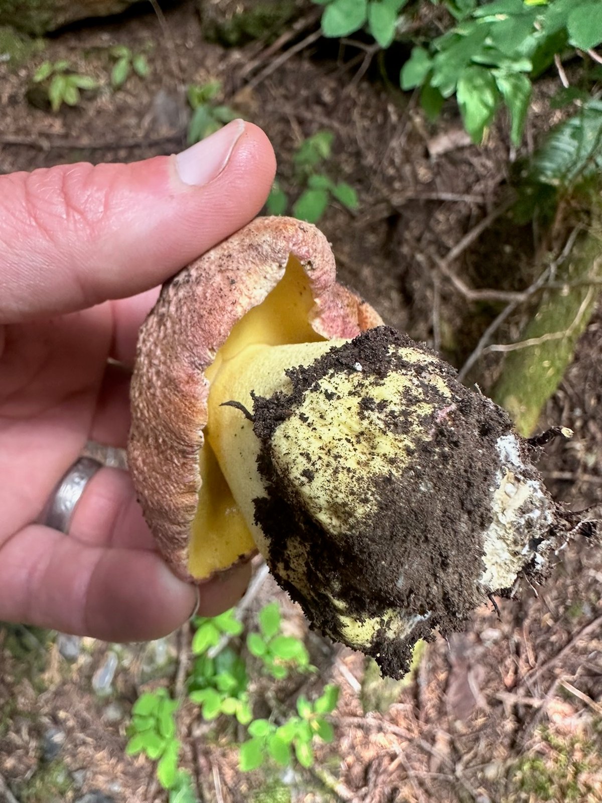
Butter Bolete – Lots of yellow
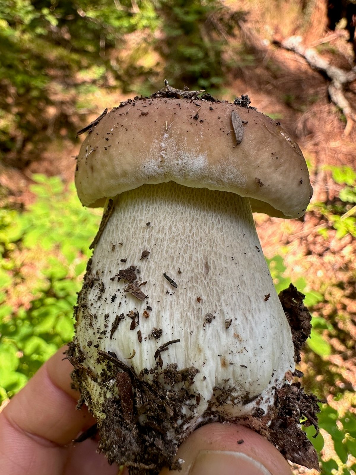
King Bolete
Butter Bolete – Lots of yellow
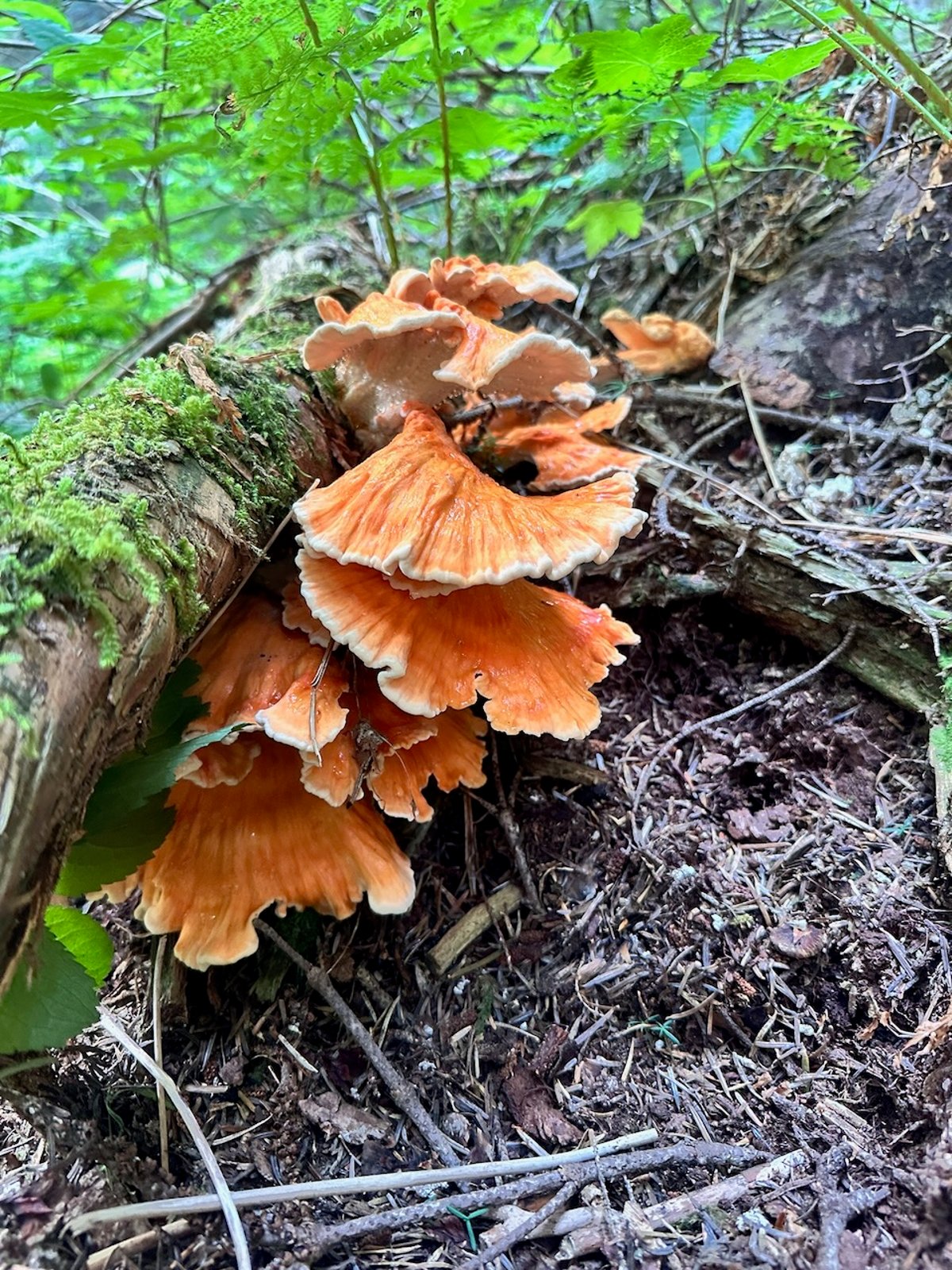
Chicken of the woods
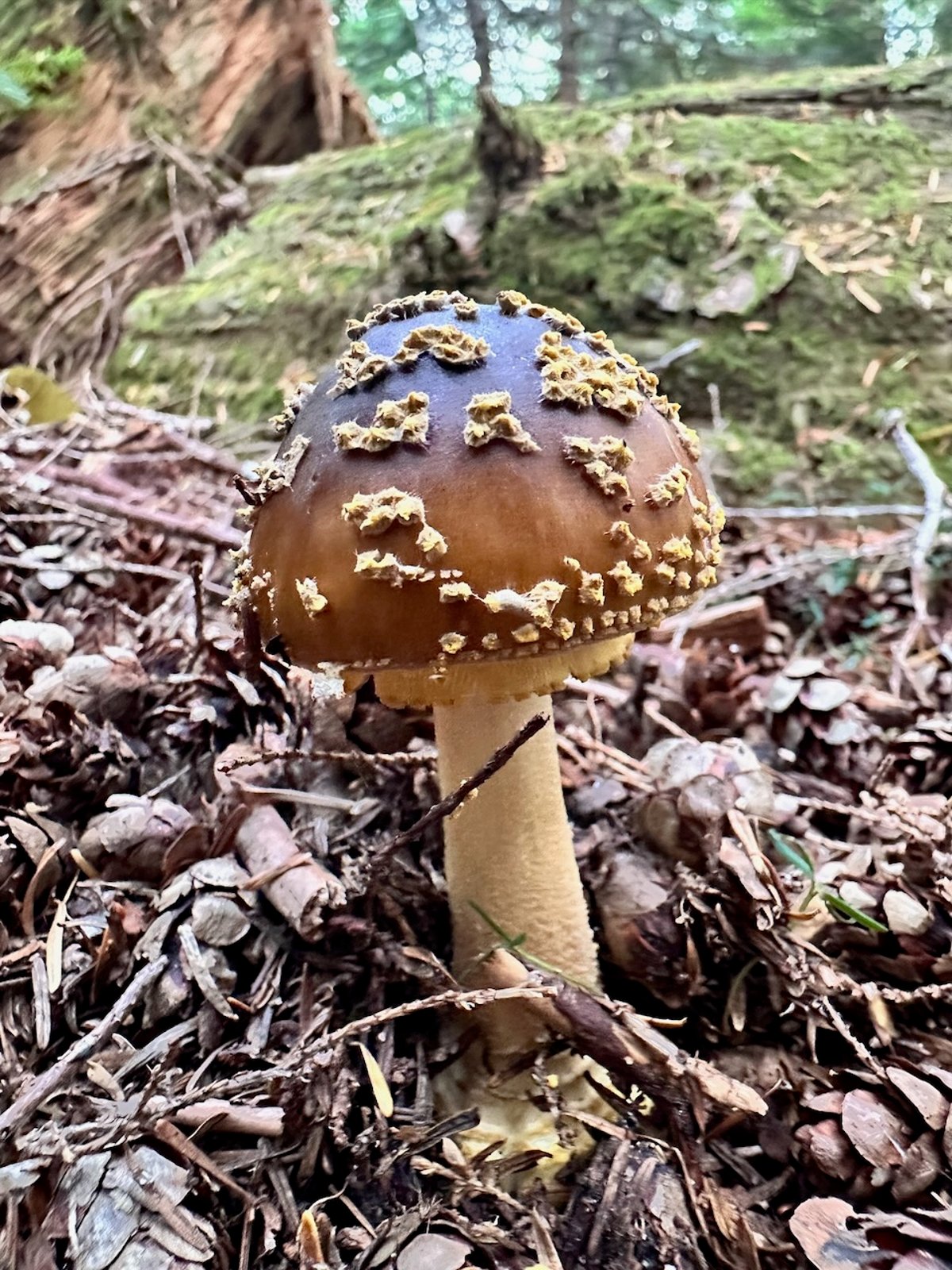
Yellow-veiled Amanita
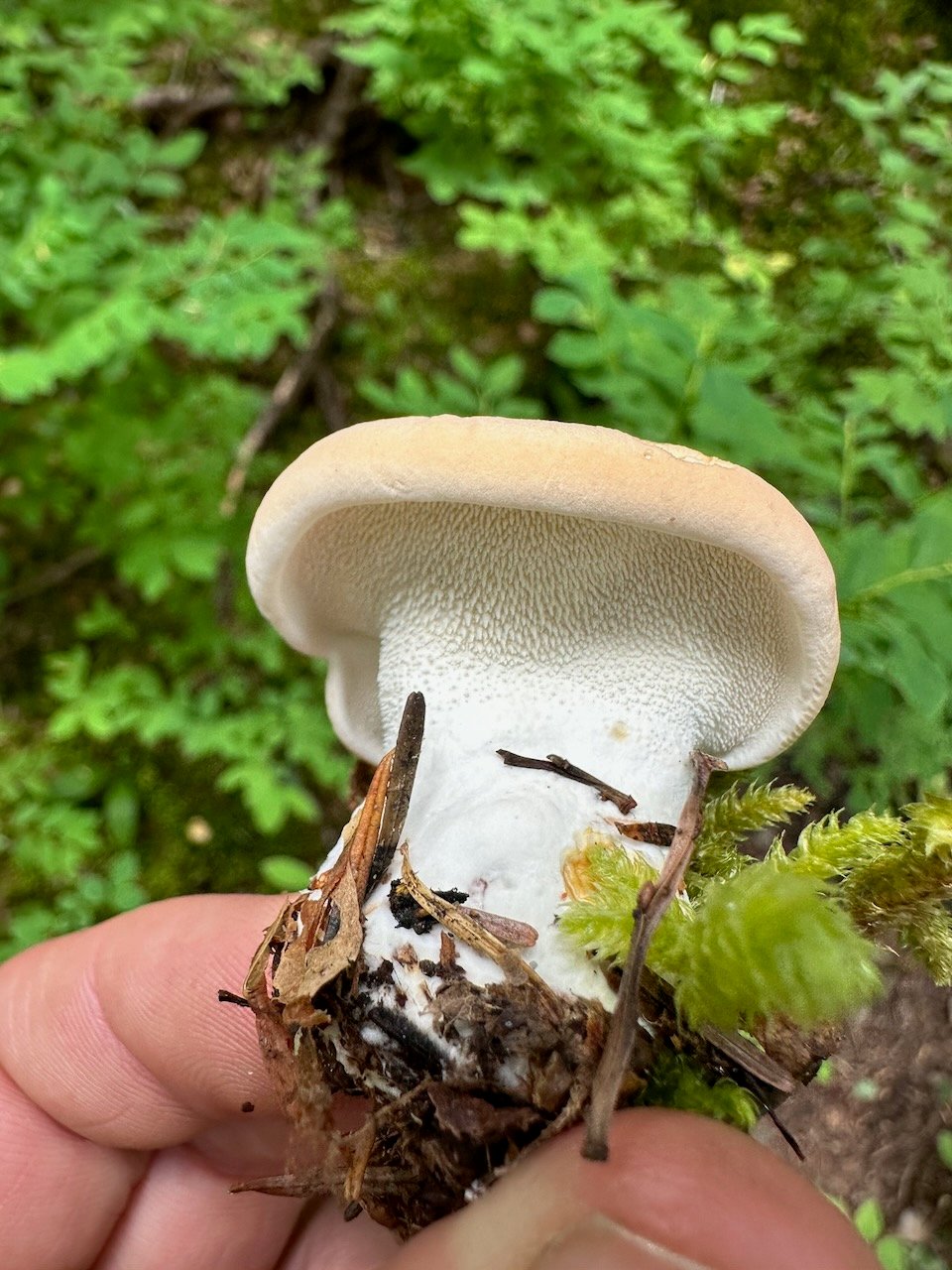
Hedgehog
I have continued to update the Forayz app (iOS, Android, web) to give users more insight into areas where they are foraging. You can now add waypoints in iOS and Android.
Long-press or tap waypoint for:
- Tree Species
- Recent Precipitation
- Soil Temp / Soil Moisture
Tap a waypoint or long-press
anywhere on the map for habitat and conditions
Other changes you might find helpful
New layers:
- Active wildfires
- Smoke forecast
- Tree species
As we continue to get localized rain around the region, you can use the recent precipitation layer to track areas that might be more suitable for mushrooms. Here is what the 14-day precipitation map looks like right now
I’d love to get your feedback on using Forayz. I can usually pretty quick at making changes when needed, and your real-world testing is incredibly valuable.
Get the data serious foragers use to find more mushrooms
Free members get soil conditions, the past week of rain, snow, smoke and historical burns. Pro unlocks the layers that help you narrow down exactly where to look.
- Newest burn years, managed burns & burn severity
- Tree species maps (22 species) & timber harvests
- Town and mountain pass fruiting calendars with current conditions
- Offline map downloads in the iOS & Android apps
- 14- and 30-day rainfall windows
- Soil temperature & moisture at full zoom
Similar Posts
Fall Mushroom Foraging Near Seattle
Fall Mushroom Foraging Near Seattle What actually comes up from September through December — in the city, and where to drive when it doesn’t Fall is the main mushroom season in western Washington. The summer drought breaks with the first soaking rains, usually in late September or October, and mushrooms keep appearing until freezing weather…