The geography of the Pacific Northwest creates a variety of habitats that significantly influence the tree species found in these areas. Coastal areas receive significantly more rain than the eastern Cascades. High elevation areas are covered in snow for much of the year, and forests in close proximity to volcanoes have a more volcanic soil.
Humans also influence these habitats through agriculture, forestry, and others.
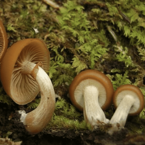
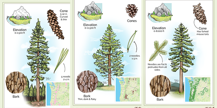
Most mushrooms thrive in fairly specific habitats which are often determined by the tree species in the area. One can use maps highlighting the distribution of tree species to decide where specific mushrooms are most likely to flourish.
I created this tree summary page to help with identification of many of our most common tree species, and have included distribution maps for most of them.
Common Pacific Northwest Trees
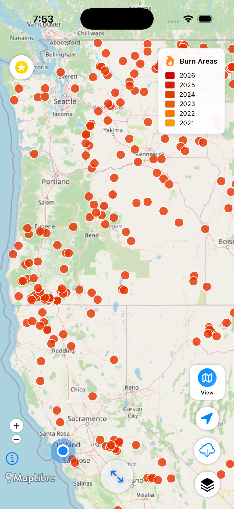
Get the data serious foragers use to find more mushrooms
Free members get soil temps, precipitation, and ecoregion data. Pro unlocks the layers that help you narrow down exactly where to look.
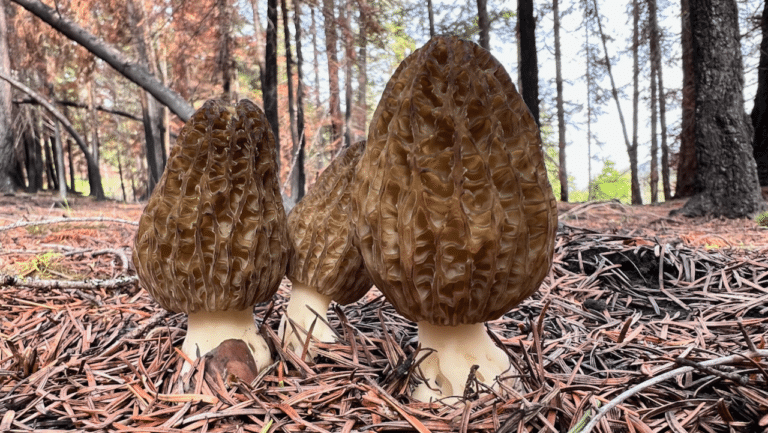
- Historical burn perimeters — find morel habitat fast
- Timber harvest boundaries across OR & WA
- Detailed foraging area summaries with conditions
- Offline maps in the Forayz iOS app