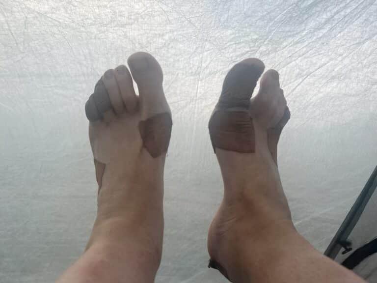
After deciding to skip the High Sierra (for now -we’ll be back for it someday!) we were very happy to spend about a week in Sacramento with friends (thank you Virginia, Matt, Emmitt,and Fiona for hosting and letting us turn a 2 night stay into six days!). While there we determined our next starting point in Northern California would be at Donner Summit, just outside if Truckee and almost exactly 500 trail miles north of where we got off trail. Donner had the benefit of being an easy bus ride from Sacramento and would give us a taste of the snow we missed in the Sierra without the majority of the risk.
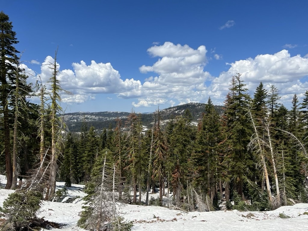
Snow! Just north of Donner Summit
While in Sacramento we made a few gear updates and repairs, and I tie-dyed my sun shirt to cover up some of the dirt and sweat stains. It was great to have a minor reset now that we had 650 miles of experience to learn from.
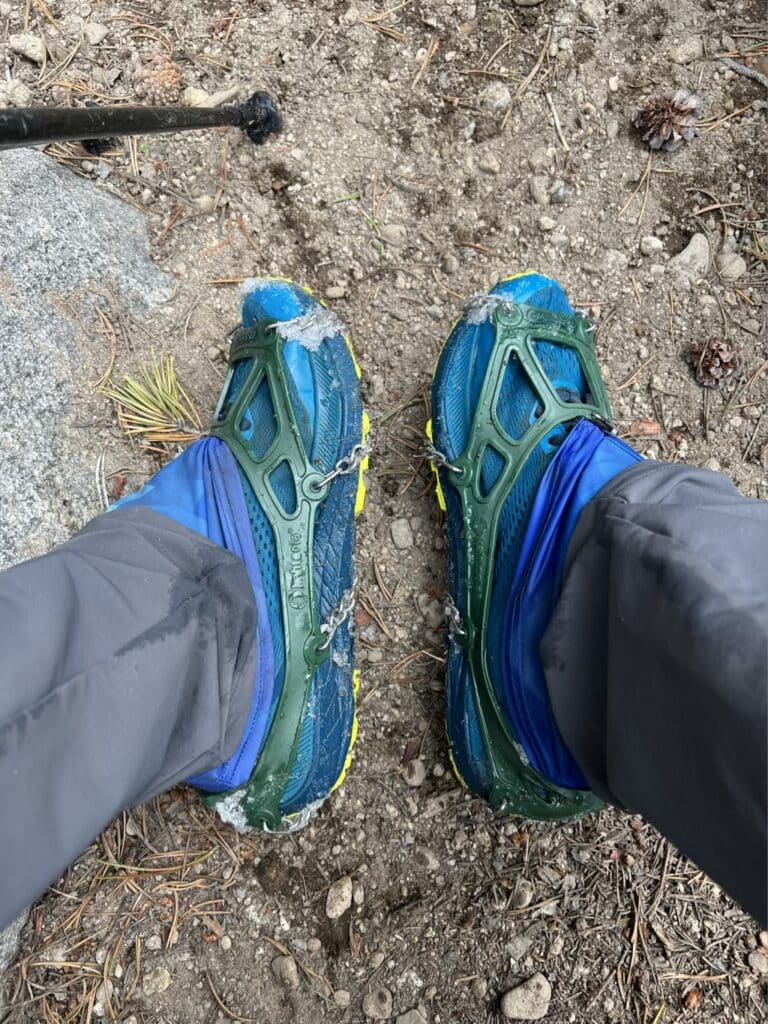
Now we’re about a week into our Northern California leg and loving it. The snow has been a bit more than we expected but an adventure in navigation (Jeremy has been our lead navigator and is doing an excellent job), a lesson in the best and fastest ways to put on or remove microspikes, and a great conversation starter for anyone we meet on trail.
We have started meeting a handful of hikers who made it through the High Sierra as well. Most started about a month earlier than we did in Campo so many of the snow bridges over treacherous water crossings were still in place. Even so, all have some harrowing stories. I’ve been so impressed by each of them!
While California is in the middle of a heatwave we’ve been lucky to be walking on snow and in the shade of evergreen trees so have been fairing well. Our pace did drop significantly as I’ve been battling a head cold which has me a bit fatigued and Jeremy has started finding more mushrooms 😂. This has been a good practice in both presence and self-compassion as we let go of the idea of mileage goals for each day and just enjoy the trail.
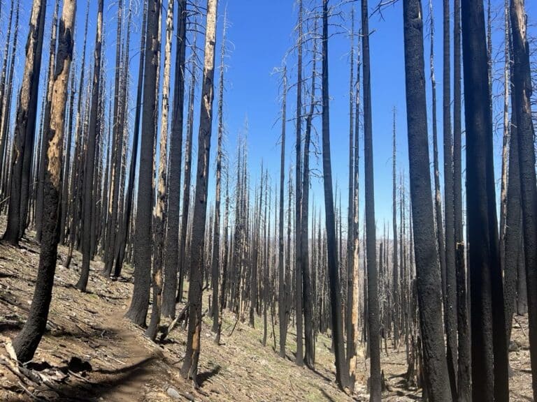
As the days get hotter and we move deeper into summer our thoughts are quickly turning from snow to wildfire, knowing that the question is not whether but when & where fire will impact our path. We are hopeful to miss the worst if it but also a little nervous every time we get a weather update. We spent the last two days walking through a burn scar from a 2020 wildfire and know we have many more miles of terrain like this ahead.
As I type we have walked 770 miles and just hit the two-month anniversary of our start date. It’s hard to believe we made it this far and I also can’t wait to see what the coming months will hold (until October 1 when I plan to be back on my couch petting my cats 😻😻).
Get the data serious foragers use to find more mushrooms
Free members get soil conditions, the past week of rain, snow, smoke and historical burns. Pro unlocks the layers that help you narrow down exactly where to look.
- Newest burn years, managed burns & burn severity
- Tree species maps (22 species) & timber harvests
- Town & pass fruiting calendars with current conditions
- Offline map downloads in the iOS & Android apps
- 14- and 30-day rainfall windows
- Soil temperature & moisture at full zoom