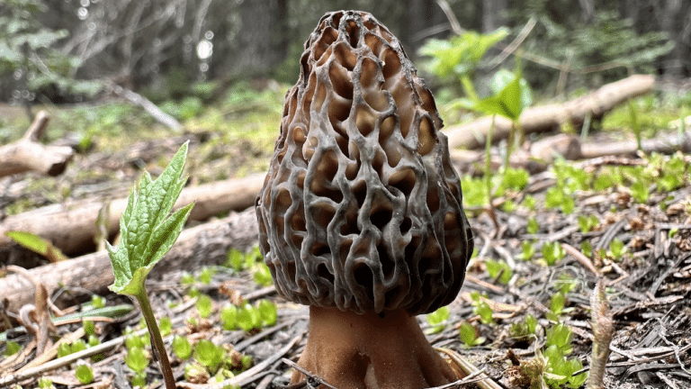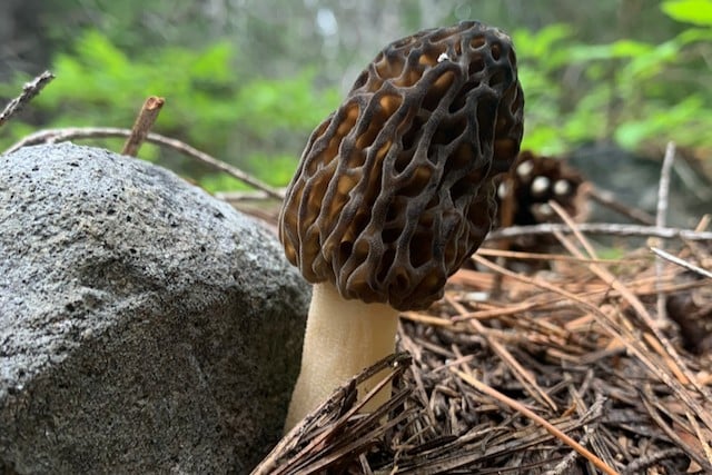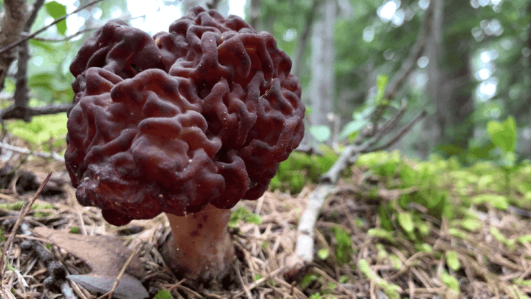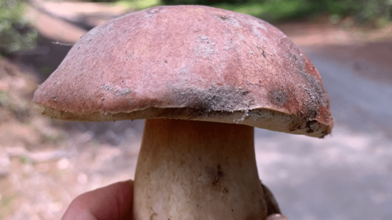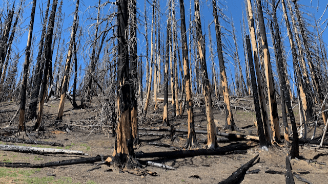
Trent of Modern Forager posted about whether it is safe to eat morels foraged in burn zones where fire retardant may have been used. You can find the original post here.
Here are my key takeaways from the article.
- Trent found no direct research on morels and fire retardant, and no evidence that burn morels are either dangerous or safe on this point
- A 2021 human health risk assessment of long-term fire retardants, prepared for the Forest Service, covers this. It expects the skin exposure from picking mushrooms and berries in treated areas after vegetation has regrown to present negligible risk. It looked at skin contact while harvesting, not at how much retardant ends up in the mushrooms themselves.
- Avoid eating or touching fire retardant itself. The same report advises against eating food from places where retardant residue is visible
- Avoid areas where fire retardants are most heavily used such as along roadways, meadows, and rock outcroppings
Firefighters have much greater exposure to these chemicals than a typical forager. The Forest Service assessment also found risks to be generally negligible for people who re-enter treated areas, such as hikers and hunters.
Here are a few things that have the greatest impact on your safety when foraging and eating wild mushrooms:
- Drive carefully – driving could be the most dangerous thing you do all week
- Pack appropriately – stay warm, dry, fed, and watered
- Let someone know when you expect to return
- Charge your phone, limit power consumption (low power mode), and know how to use it for navigation
- Correctly identify mushrooms you intend to eat
- Cook wild mushrooms thoroughly. It often lowers the chance of a reaction, though it does not rule one out
Sources: Modern Forager; U.S. Forest Service, Human Health Risk Assessment of Wildland Fire-Fighting Chemicals: Long-Term Fire Retardants (October 2021).
Get the data serious foragers use to find more mushrooms
Free members get soil conditions, the past week of rain, snow, smoke and historical burns. Pro unlocks the layers that help you narrow down exactly where to look.
- Newest burn years, managed burns & burn severity
- Tree species maps (22 species) & timber harvests
- Town and mountain pass fruiting calendars with current conditions
- Offline map downloads in the iOS & Android apps
- 14- and 30-day rainfall windows
- Soil temperature & moisture at full zoom