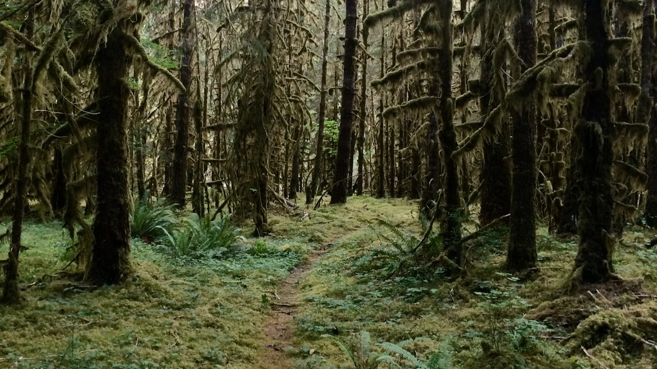
The Olympic Peninsula is a wonderful place to look for mushrooms due to the expansive forests and ease at finding mature forests in some breathtaking river valleys. It can be difficult to find the specific boundaries and rules for different types of public land. I hope this map helps.
Here is a link to another map that is still in development that covers Washington and Oregon
Have suggestions on how this can be improved? Send me a note
Pro Membership
Get the data serious foragers use to find more mushrooms
Free members get soil temps, precipitation, and ecoregion data. Pro unlocks the layers that help you narrow down exactly where to look.
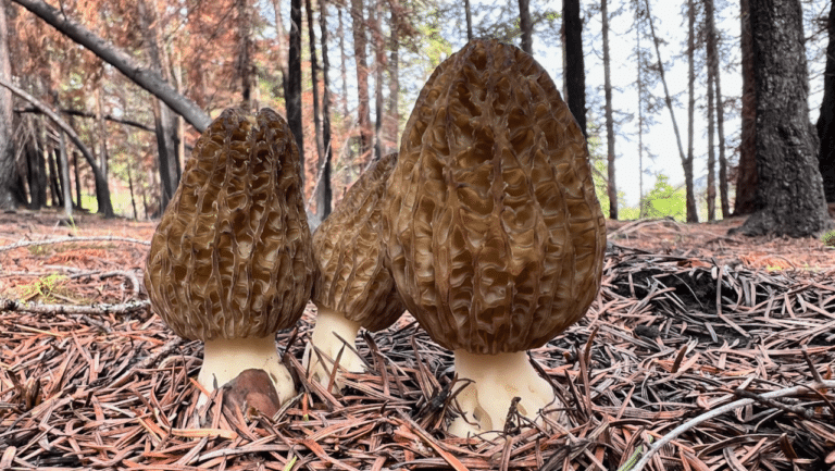
- Historical burn perimeters — find morel habitat fast
- Timber harvest boundaries across OR & WA
- Detailed foraging area summaries with conditions
- Offline maps in the Forayz iOS app