Tree Species on Forayz See exactly which trees grow where, across the Pacific Northwest and the Western US
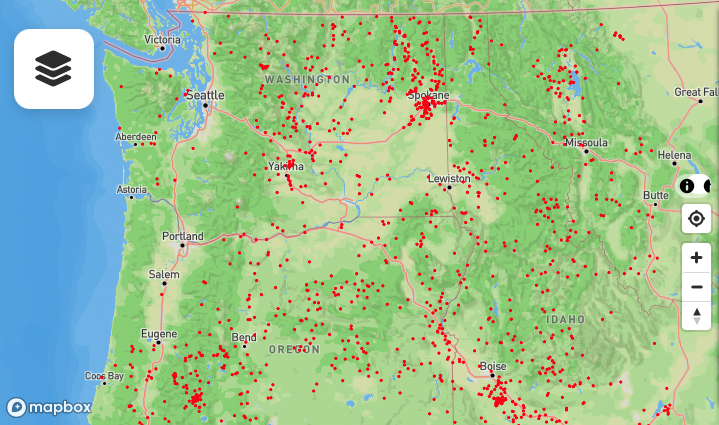
If you’ve ever stared at a topo map wondering whether that mountainside is old-growth Doug fir or logged-over alder, Forayz answers it. The Tree Species layer maps 22 individual species across the Western US by live tree density — not broad habitat categories, but how much of each species is actually standing on the ground.
This replaces the older ten-category Forest Types layer. Most prized edibles have specific tree partners, so instead of driving to a trailhead and hoping, you can verify the dominant species from home and plan your forays around the trees you want to be under.
Try the Tree Species Layer
Open Forayz, tap Layers, and expand the Tree Species section. Available now for Pro members.
Why Tree Species Matter for Foraging
Mushrooms are not random. Most prized edible species in the PNW have specific tree partners. Chanterelles and bear’s head tooth fruit under Douglas fir and western hemlock. King boletes favor spruce and fir at higher elevations. Morels and verpa flush under cottonwoods in river valleys each spring.
The Tree Species layer gives you a fast visual answer to the question: “What trees are growing there, and how many?” — without leaving your couch. Overlay it with soil data, burn perimeters, and public land boundaries, and you’ve got a complete picture of whether a spot is worth the drive.
Twenty-Two Species, One Map
Each species is mapped by modeled basal area — effectively how much of that tree is standing per acre — across Washington, Oregon, Idaho, Montana, California and beyond. Darker means denser. Select one at a time to highlight it:
Douglas-fir
The workhorse of PNW forests. Chanterelles, coastal matsutake, and a long list of boletes.
Western Hemlock
Classic chanterelle and hedgehog ground, especially in older west-side stands.
Mountain Hemlock
High-elevation stands. Matsutake and king bolete country once the snow leaves.
Sitka Spruce
The coastal fog belt. Chanterelles, lobsters, and bear’s head tooth.
Engelmann Spruce
Interior high country. Spring kings and high-elevation burn morels.
Grand, White, Red & Pacific Silver Fir
Each mapped separately, plus an “Other Firs” catch-all. Prime king bolete territory at elevation.
Ponderosa Pine
Open, dry forests east of the Cascades. Burn morels after fire moves through.
Lodgepole Pine
Thin, dense stands at mid to high elevation. A heavy burn-morel producer.
Western White Pine
Scattered through interior and Cascade forests.
Western Redcedar
Wet lowland and riparian forest, usually mixed with hemlock and Doug fir.
Larch
Eastern Cascades and the Rockies. Turns gold in October, and burns often.
Cottonwood
Riparian corridors and floodplains. Landscape morels and verpa in spring.
Alder & Maple
Mapped separately. Disturbed ground, road cuts and second growth — oysters and spring morels.
Aspen
Interior groves. A distinctive morel habitat in the Rockies and the eastern ranges.
Oak
Garry oak savanna to the north, California oak woodland to the south.
Tanoak
Southern Oregon and California, with its own distinct set of boletes.
Madrone
Dry, rocky south-facing slopes, often mixed with oak and Doug fir.
One species at a time
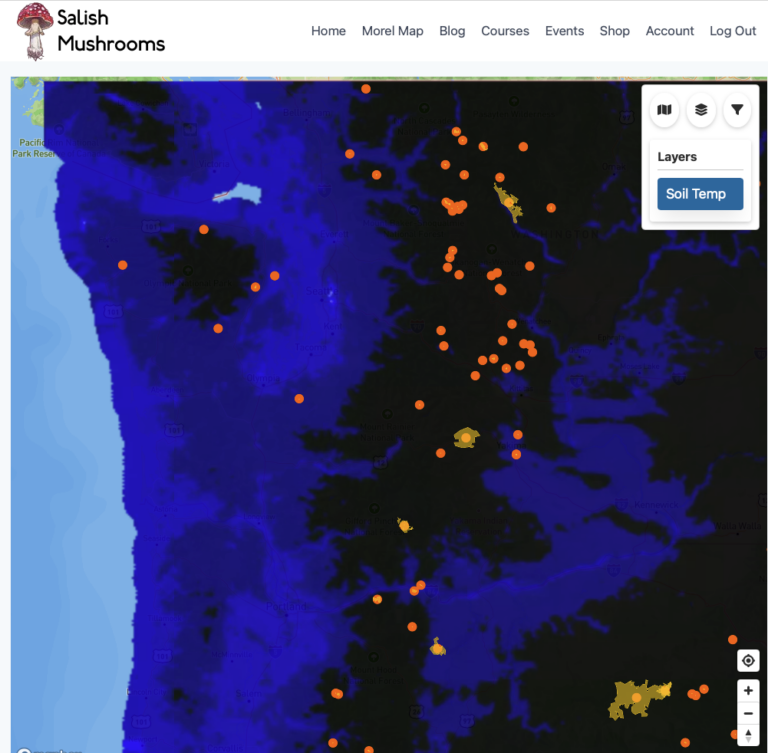
Tree Species uses radio-button selection — only one shows at a time. That keeps the map readable while you compare a species against your other layers, like burn perimeters or soil temperature.
How to Use It
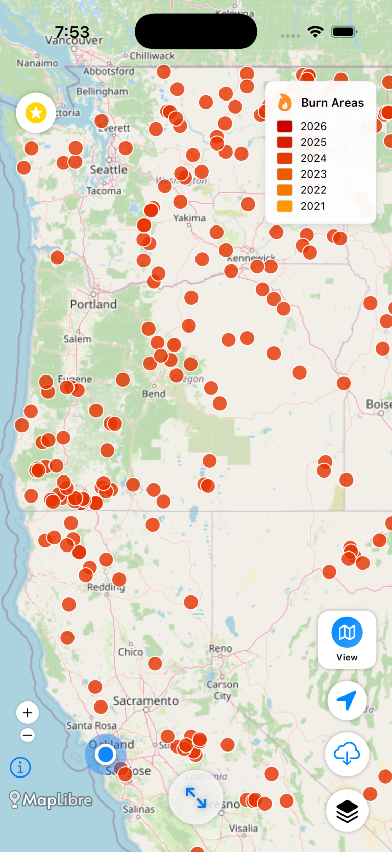
Planning a burn morel trip? Turn on Recent Burns, find a promising fire, then switch to Tree Species and check what was actually growing inside the perimeter. Lodgepole, ponderosa, Douglas-fir and Engelmann spruce burns are the classic high-yield morel habitats; a burn that was mostly grass or brush is not worth the drive.
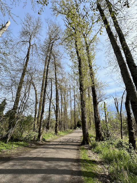
Looking for spring morels and verpa? Select Cottonwood and scout the riparian corridors and floodplains where landscape morels fruit each spring. These river-bottom habitats are some of the earliest producers of the season.
Scouting for chanterelles or bear’s head? Select Western Hemlock or Sitka Spruce and look for large contiguous high-density patches on public land. Cross-reference the precipitation layer to find areas that got recent rain.
Hunting king boletes? Check the fir layers and Engelmann Spruce for the high-elevation stands where kings fruit after snowmelt, and Mountain Hemlock for fall matsutake.
Data source
Tree density comes from the USDA Forest Service, Forest Health Protection — modeled individual tree-species basal area rasters (Wilson et al.), released to the public domain. We render them as a density grid, so the shading reflects how much of that species is standing rather than a yes/no habitat boundary.
Keep Learning
The Tree Species layer is one piece of the puzzle. Here are more tools to level up your foraging:
About Forayz Maps
Full guide to every layer, feature, and data source on the Forayz platform.
Free guideMorel Identification Lesson
Learn to tell true morels from lookalikes. Species, habitat, and safe preparation.
Free course“Is This a Morel?” Quiz
Test your ID skills on real photos. Can you spot the true morels from the lookalikes?
Free quizOpen Forayz and Explore Tree Species
Pro members get full access to Tree Species, burn perimeters, timber harvests, and offline maps. Free members get soil conditions at regional zoom, the past week of rain, snow and wildfire smoke, plus historical burns, public lands, roads and trails.
Get the data serious foragers use to find more mushrooms
Free members get soil conditions, the past week of rain, snow, smoke and historical burns. Pro unlocks the layers that help you narrow down exactly where to look.
- Newest burn years, managed burns & burn severity
- Tree species maps (22 species) & timber harvests
- Town and mountain pass fruiting calendars with current conditions
- Offline map downloads in the iOS & Android apps
- 14- and 30-day rainfall windows
- Soil temperature & moisture at full zoom