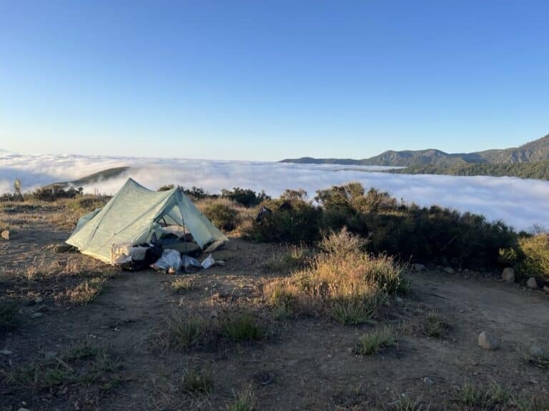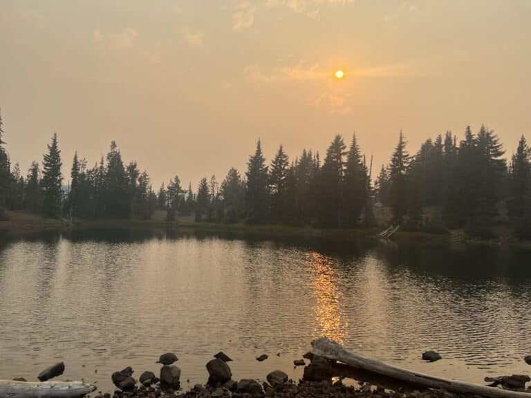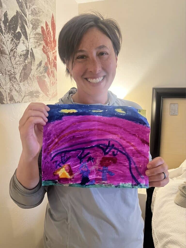
Kristi and I left San Diego for Campo, CA on Saturday May 6. The southern terminus of the PCT is at the Mex-US border just outside of Campo. We had unseasonably cool weather which was perfect for hiking.
The first leg of our walk covered 76 miles ending at the Stagecoach Trails RV Resort. We covered about 15 miles each day and didn’t do much outside our tent besides walk, snack, take photos, cook, and rest our feet.
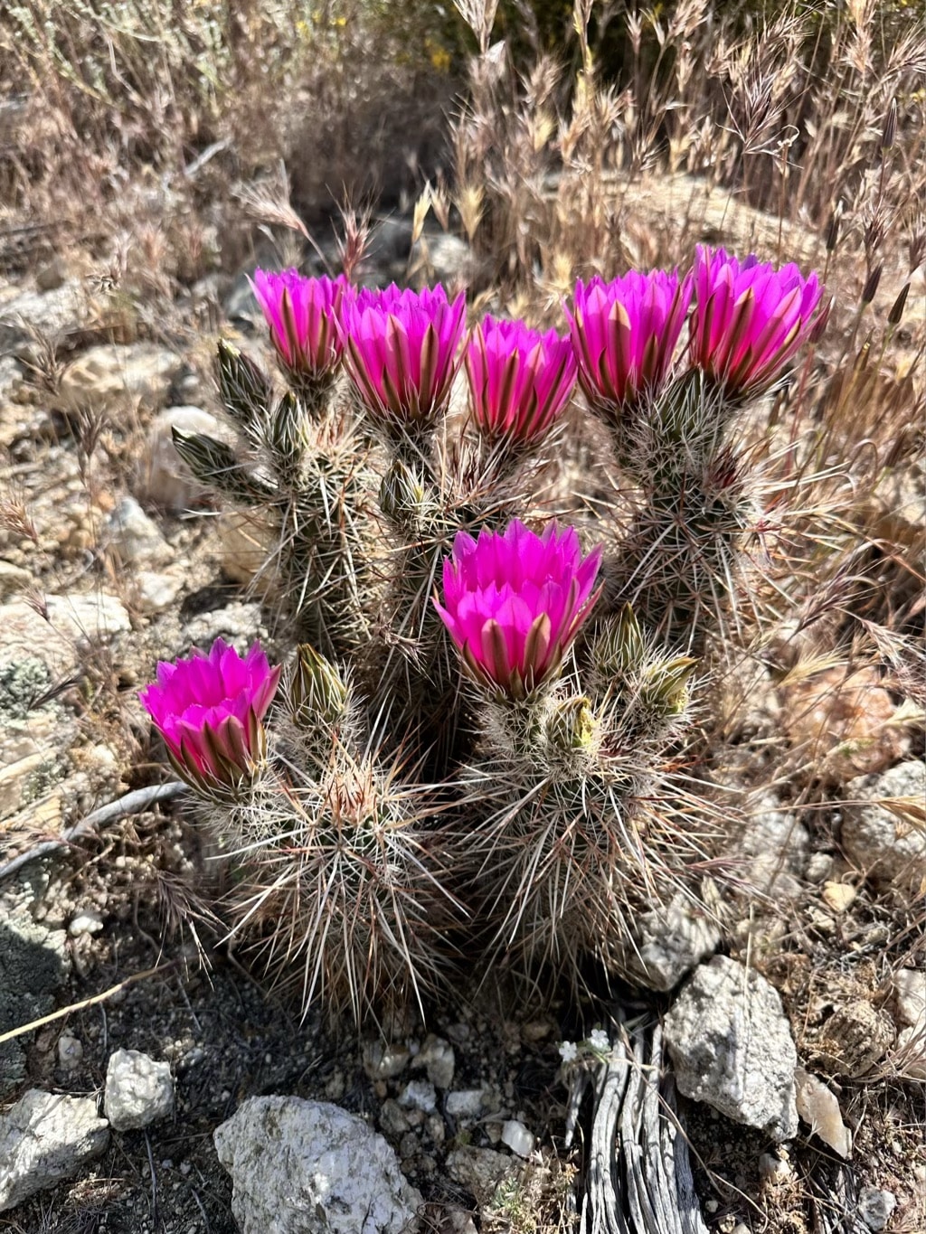
Most surprising in these first days was the diversity of wildflowers.
Pro Membership
Get the data serious foragers use to find more mushrooms
Free members get soil conditions, the past week of rain, snow, smoke and historical burns. Pro unlocks the layers that help you narrow down exactly where to look.
- Newest burn years, managed burns & burn severity
- Tree species maps (22 species) & timber harvests
- Town & pass fruiting calendars with current conditions
- Offline map downloads in the iOS & Android apps
- 14- and 30-day rainfall windows
- Soil temperature & moisture at full zoom