Kristi and I will start the Pacific Crest trail from the US-Mexico border in May so I thought I would start with a short summary of the PCT, and address some of the most common questions.
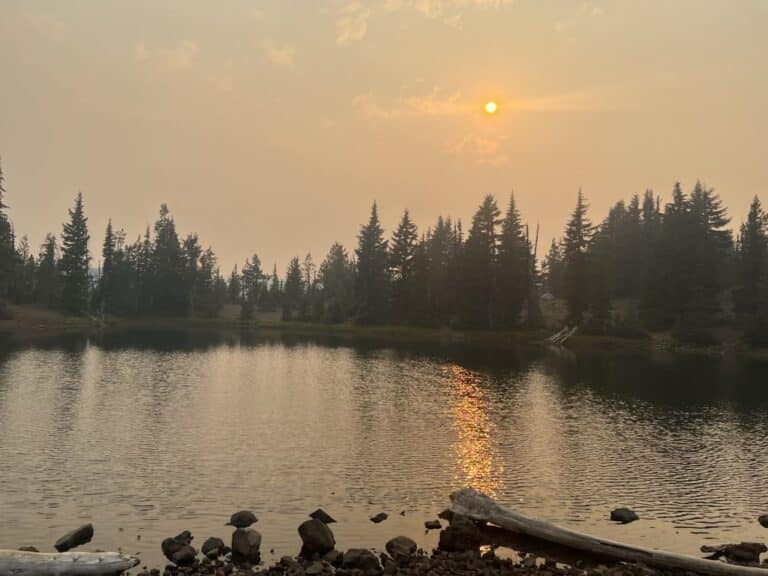
The Pacific Crest Trail (PCT) is a long-distance hiking and equestrian trail in the United States that stretches from the U.S.-Mexico border in Southern California to the U.S.-Canada border in Washington State. The trail is approximately 2,650 miles (4,265 kilometers) long and passes through three states: California, Oregon, and Washington. It traverses diverse landscapes, including deserts, mountains, and forests, providing hikers with breathtaking views and a variety of natural environments.
Established in the 1930s, the PCT is now managed by the Pacific Crest Trail Association (PCTA) in partnership with various federal, state, and local agencies. The trail is part of the National Trails System and was designated as a National Scenic Trail in 1968. The PCT attracts thousands of hikers and equestrians each year, including those who attempt to complete the entire trail in a single season, known as thru-hikers. The journey typically takes 4 to 6 months to complete, requiring substantial planning and preparation.
Hikers intending on thru-hiking the entire trail choose between a South-to-North (northbound or NOBO), or North-to-South route (southbound or SOBO). Those starting at the US-Mexico border begin the trail in Campo, California between March and May.
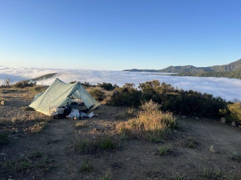
Most necessities can be found or purchased along the trail. Hikers carry a very limited amount of supplies to help reduce the weight of their backpacks. They will carry a water filter to fill water bottles throughout the day limiting the amount of water they need to carry. They will only carry enough food to get them to the next resupply point which can be anywhere from 3-10 days. There are campsites all along the trail and the hiking permit includes most of these campgrounds.
Get the data serious foragers use to find more mushrooms
Free members get soil temps, precipitation, and ecoregion data. Pro unlocks the layers that help you narrow down exactly where to look.
- Historical burn perimeters — find morel habitat fast
- Timber harvest boundaries across OR & WA
- Detailed foraging area summaries with conditions
- Offline maps in the Forayz iOS app