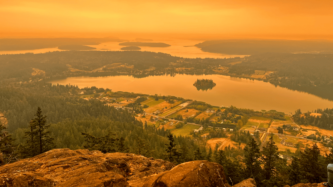
One of the things we are learning to accept with dry summers is annual forest fires. This image was taken on Saturday from Mount Erie in Anacortes. The camera filter exaggerated the sepia tones but I think it still captures the apocalyptic feel outside over the past few days.
Where is all of this smoke coming from?
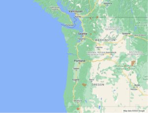
I am working on this map that outlines many of the major burns in Oregon and Washington. Most of these burns are still active as of Sept 13, and the burn area will surely change.
It is difficult to articulate the devestation from these fires. While forest fires are a natural part of the forest ecosystem, what makes these fires especially destructive is the amount of heat they generate. These fires have become larger and more destructive in the past 20 years and there are a number of causes both human and environmental.
For decades we worked to suppress most forest fires in order to protect timber plantations as well as public and private land. Suppressing fires seems like a logical way to prevent damage due to wildfires. An unfortunate consequence however is that debris, and wood continued to pile up in the forest which provided fuel for future fires. These fires now burn hotter and will kill trees that might have otherwise withstood a more modest burn.
Many of our national forest lands are managed as tree plantations. Forest managers have spent decades researching ways to increase output from forests focusing on tree density, reducing competition from shrubs and other trees, and harvesting all trees in a plot. It can take decades to understand the consequences of these decisions and even longer to enact new policies that improve the resiliance of our forests.
We continue to learn about our role in creating healthy forests, and the role forests play in improving our own health
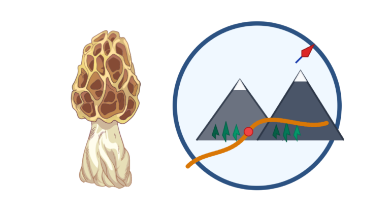
Get the data serious foragers use to find more mushrooms
Free members get soil temps, precipitation, and ecoregion data. Pro unlocks the layers that help you narrow down exactly where to look.
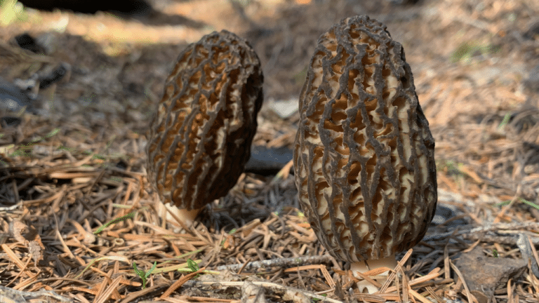
- Historical burn perimeters — find morel habitat fast
- Timber harvest boundaries across OR & WA
- Detailed foraging area summaries with conditions
- Offline maps in the Forayz iOS app