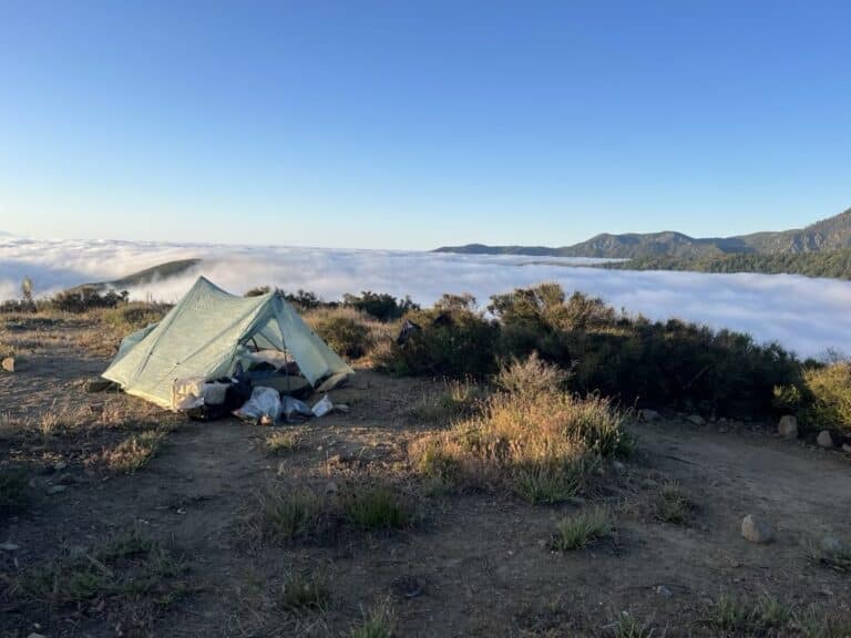
Where’d we come from, Where’d we go?

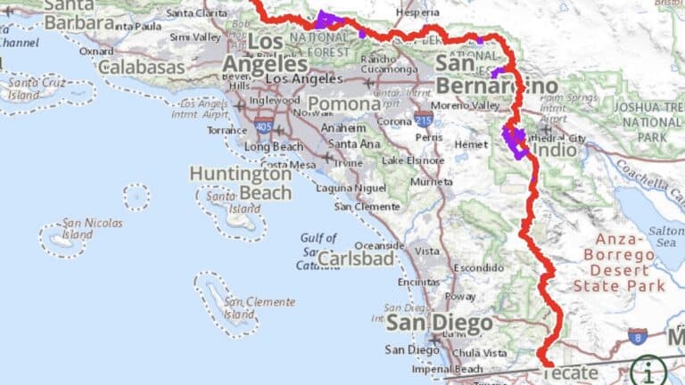
May 6 – started from Cal/Mx border at Campo, CA

June 21 – left the PCT from Walker Pass near Tehachapi

Jun 21-27 – spent 6 days in Sacramento

Jun 27 – Back in trail at Donner Pass near Truckee/Reno (trail mile 1154 – our mile~650)

Jun 27-Jul 6 Donner Pass to Quincy (115 miles)

Jul 8(?) Belden

Jul 11 Chester (1332)

Jul 15 – Old Station (1374)

Jul 17 – Lake Britton Burney, CA (1420)

I keep a summary of some trip details here

Pro Membership

Get the data serious foragers use to find more mushrooms

Free members get soil temps, precipitation, and ecoregion data. Pro unlocks the layers that help you narrow down exactly where to look.

  • Historical burn perimeters — find morel habitat fast
  • Tree species maps & timber harvest boundaries
  • Foraging areas with fruiting calendars & conditions
  • Offline maps in the iOS & Android apps

Similar Posts

  • The Desert

    Over the past 40 days and 40 nights I have been recording short clips of the trail to help capture the general feel of the trail. The terrain is wildly varied and can change with small differences in elevation, aspect of the slope, and of course in close proximity to water. Below is a recording…

  • PCT – Southern Oregon

    Pro Membership Get the data serious foragers use to find more mushrooms Free members get soil temps, precipitation, and ecoregion data. Pro unlocks the layers that help you narrow down exactly where to look. Historical burn perimeters — find morel habitat fast Tree species maps & timber harvest boundaries Foraging areas with fruiting calendars &…

  • Jeremy’s Desert Highlights

    7 minutes covering many of our favorite parts of the desert including the trail, campsites, water, plants, small animals, and people-sized animals Pro Membership Get the data serious foragers use to find more mushrooms Free members get soil temps, precipitation, and ecoregion data. Pro unlocks the layers that help you narrow down exactly where to…

  • Truckee to Chester

    Background The first part of the PCT is primarily a desert starting at the Mexico border at Campo, Ca. The trail continues north for 250 miles to Big Bear Lake, where it turns directly west towards LA. About 30mi North of LA the trail again heads North, then Northeast another 300 miles to the southern…